Stormwater Master Plan
Overview
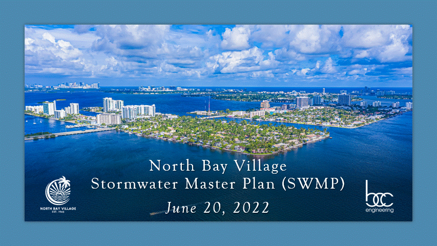
The Village has developed a Village-wide Stormwater Master Plan (SWMP) that will enable NBV to assess the existing stormwater infrastructure, evaluate current and future drainage conditions, determine allowable level of flooding and identify improvements to address future rain, flood, and water quality concerns based on scientifically-backed projections and state-of-the-art modeling tools. Stormwater Master Plan is available here.
Time line:
• Report – completed in June 2022
• Design – scope and dates to be determined
• Bidding/Construction – scope and dates to be determined
Information
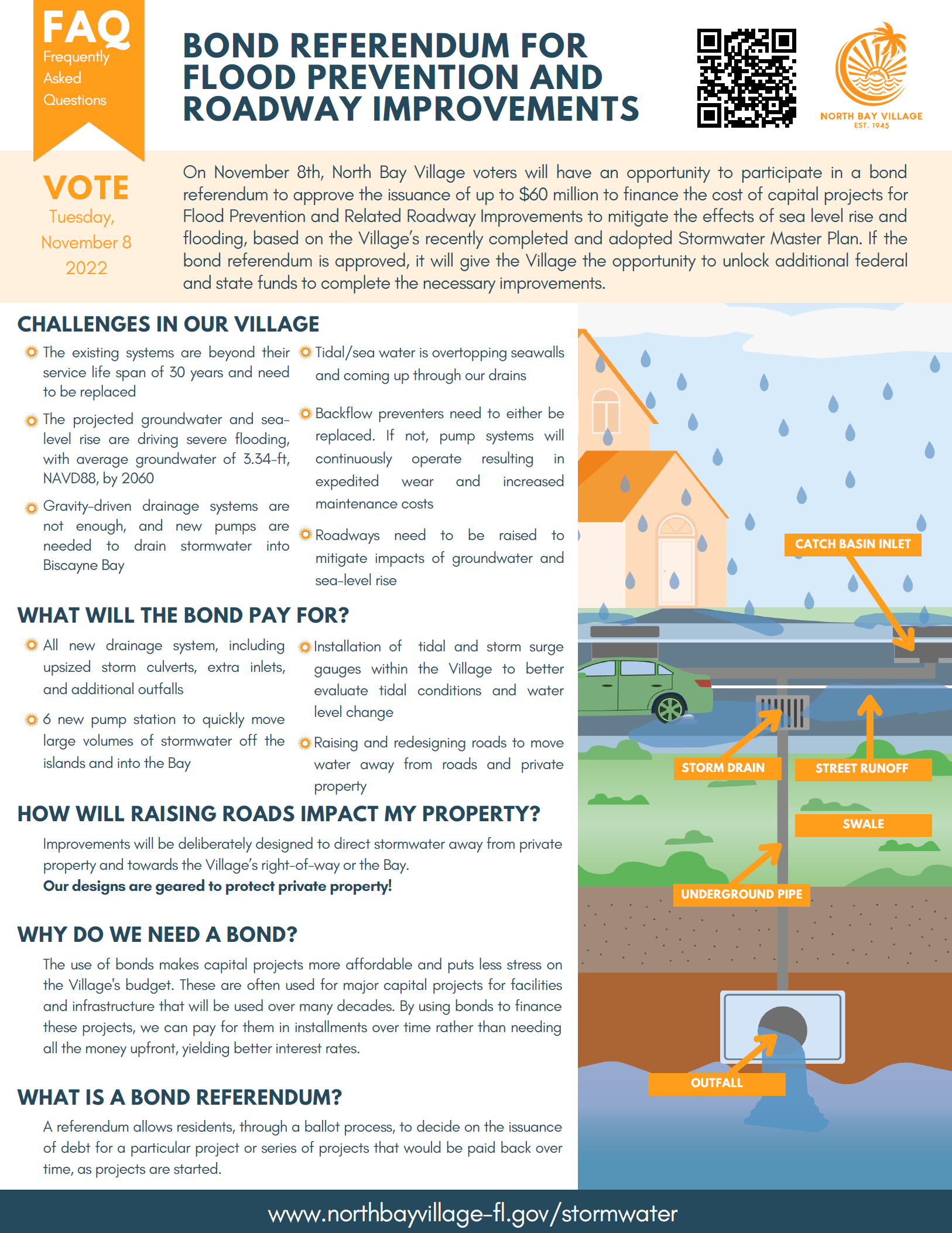
A stormwater system is designed to direct, collect, and drain rainwater away from roads, buildings, and public areas to limit flooding in the event of rain and storms. It is composed of a series of interconnected infrastructure components. These include underground pipes, storm drain inlets, pump stations, and swales all working together to comprise the overall system. Click here for an informational Stormwater 101 graphic.
- Increase the community’s ability to prepare for and withstand future flooding events
- Increase resilience consistent with the NBV100 Strategy
- Protect the Village’s infrastructure
- Preserve and increase property values
- Improve the quality of stormwater discharges into the Biscayne Bay
- Improve NBV’s ranking in the CRS program
- Aging seawalls and stormwater infrastructure
- Frequent sunny-day flooding occurrences
- Poor drainage after normal rainfall events causing standing water
- Vulnerable to rising sea levels AND rising groundwater
- Threats from increasing rainfall
- Stronger hurricanes triggering storm surges and inland flooding
Past Events
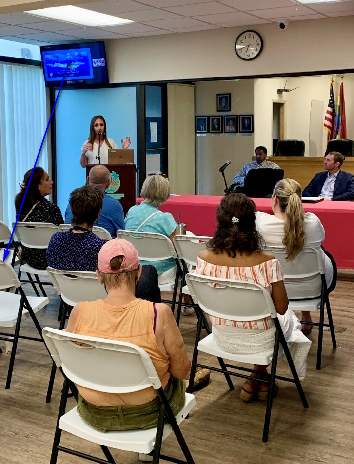
- Town Hall Meeting – Strategic Improvements of Drainage and Road Systems – September 8, 2022 – 6:30 PM (Hybrid Meeting) * A Community Town Hall discussion was held to discuss the future of North Bay Island and Harbor Island with regard to flooding, stormwater infrastructure, and roads. * View the presentation made to the community here.
- Town Hall Meeting – Strategic Improvements of Drainage and Road Systems – July 7, 2022 – 6:30 PM (Hybrid Meeting)
- Presentation at Regular Village Commission – June 20, 2022 – 6:00 PM (Hybrid Meeting)
- The Village Commission voted to adopt the Stormwater Master Plan after a presentation from BCC Engineering.
- Community Town Hall – April 6, 2022 6:30 PM (Hybrid Meeting)
- Town Hall Meeting – Stormwater Master Plan – December 8, 2021
Get Involved with our Flood Reporting Tool – Report Flooding and/or Provide Feedback
Access the flood map activity: http://bit.ly/NBVStormwater
- The Electronic Flooding Map is intended to help the project team better identify flooding problem areas that the Village is experiencing.
- Go through the comment field and fill in the questions.
- Click on the map and pinpoint exactly one location that experiences chronic flooding.
- You will see this when you log your answer!
- In the comment box below the map, you may elaborate and reference specific details regarding the flood event such as exact location, date, frequency, etc.
Comments or Suggestions:
This questionnaire will help to provide insight for North Bay Village as they work towards making updates and improvements to alleviate flooding and increase the Village’s sustainability.
Projects
The Community Rating System (CRS) is a voluntary incentive program that recognizes and encourages community floodplain management practices that exceed the minimum requirements of the National Flood Insurance Program (NFIP). Over 1,500 communities participate nationwide. NBV began the process of applying for membership in the CRS program in 2021. In 2022, the Village was admitted to the CRS program as a class 8 municipality with a 10% reduction rate for all flood insurance policies starting in October 2022.
The goal of the Village is to continue progressing in the CRS and achieve a class 4 ranking by 2030, saving residents at least 30% off their flood insurance premiums.
North Bay Island has been reported to experience chronic flooding for typical Florida summer storm events, especially during high tide conditions. More specifically, excessive roadway ponding of more than one foot has been documented in the Southeast quadrant of the island, specifically along Bay Terrace near the intersection of Coquina Drive and on Beachview Drive.
The existing stormwater conveyance system in this region is composed of catch basins and storm sewers that collect and convey excess rainfall to an existing stormwater pump station. The pump system consists of one submersible pump that discharges drainage into one stormwater injection well. In addition, the system includes three gravity outfall culverts for positive discharge in case of emergency scenarios (i.e. pump failure).
A review of records by BCC Engineering shows that the existing pump station has not been operating properly since its installation in 1996. In more recent years, the pump system has been completely turned off due to the pump only intermittently operating for a minute at a time prior to triggering the automatic ‘shut-off’ switch. Without an operational pump, the storm sewer system is solely dependent on the gravity outfall culverts, which are severely limited in their discharge capacity due to their small diameter. Consequently, prolonged periods of inundation are observed, with the existing conveyance system being incapable of delivering an adequate level of service to the neighborhood.
What is being done:
- A study was conducted by BCC Engineering which assessed the current issues and established a basis for a design solution.
- BCC presented the Village with three design options for the replacement of the NBI Stormwater Pump Station. The Village is proceeding with Option 1, at an estimated construction cost of $275,000.
- BCC Engineering has now moved forward with designing the solution, which will be completed by March 2022. The total design cost is $124,908.40, which also includes a provision for permitting and bid documents for the construction phase of the stormwater improvement project.
This project will evaluate the existing wastewater pumping and control systems for improved performance and efficiency. It will evaluate the current system’s flow patterns, analyze pump station capacities, review pump station operation to ensure connection to the Village’s existing force main system, and replace the existing pump station building on Galleon Street with a new submersible pump station for improved site development opportunities. The bid phase of this project will be complete by September 2022. Construction is expected to finish by the end of 2023.